High-accuracy 3D measurement when and where others can’t go.
Subsea, nuclear, aerospace, civil engineering and wind tunnel sites — inaccessible, hazardous or simply too large for conventional metrology. DimEye delivers traceable 3D data with its proprietary Video Laser Scan™ and I-Photogrammetry™ technologies.
One measurement discipline. Multiple demanding environments.
Wherever access is limited, conditions are hostile and tolerances are tight.
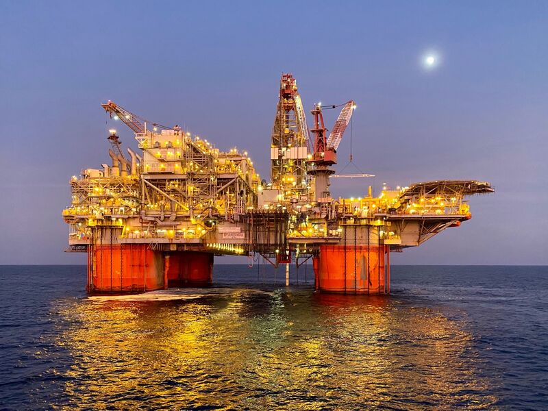
Subsea & Offshore
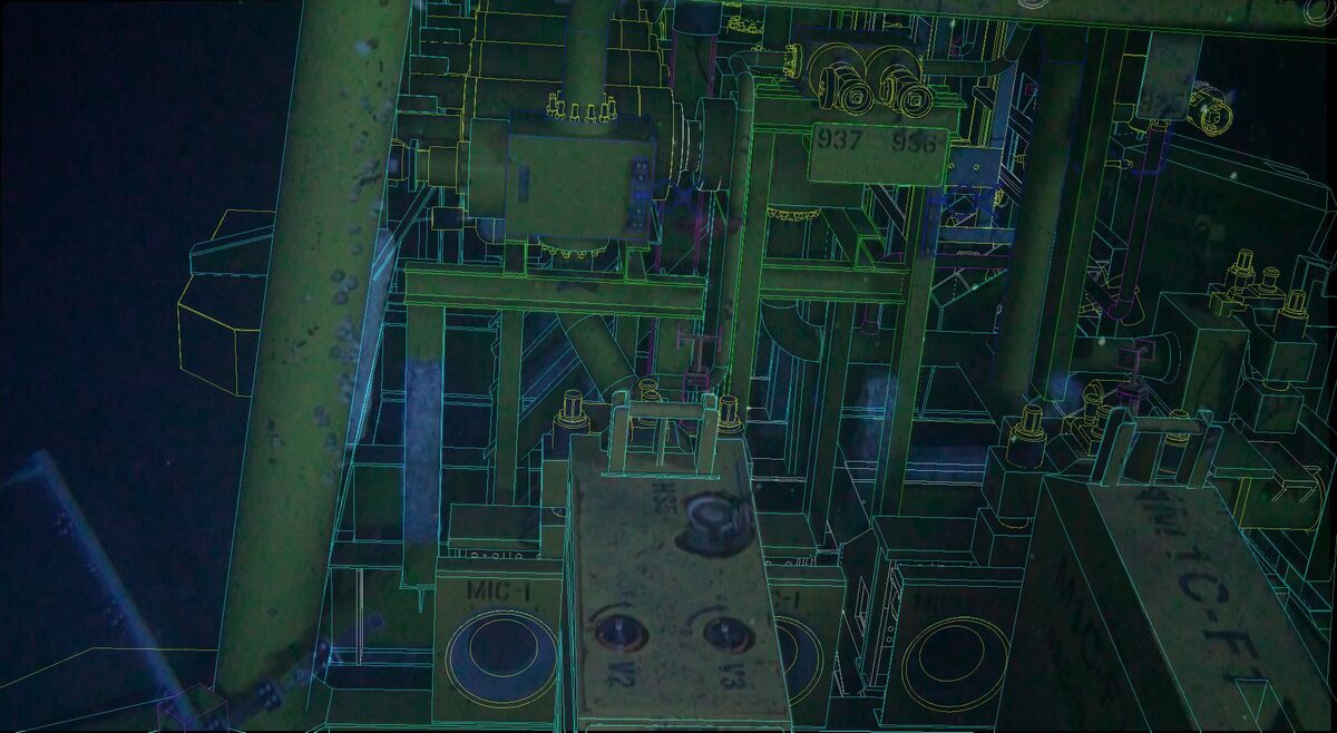
- 3D As-Built CAD Modeling of Manifolds and Valves
- Spool & Jumper Metrology
- Mooring Chain 3D Inspection
- Flex Joint 3D Inspection
- Fairlead Wheel Damage 3D Inspection and FEA
- Anodes 3D Inspection
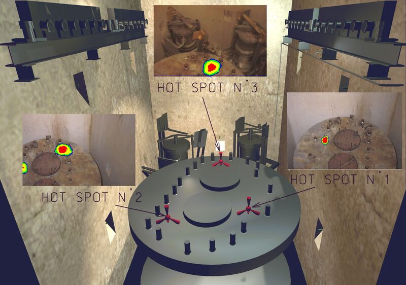
Nuclear
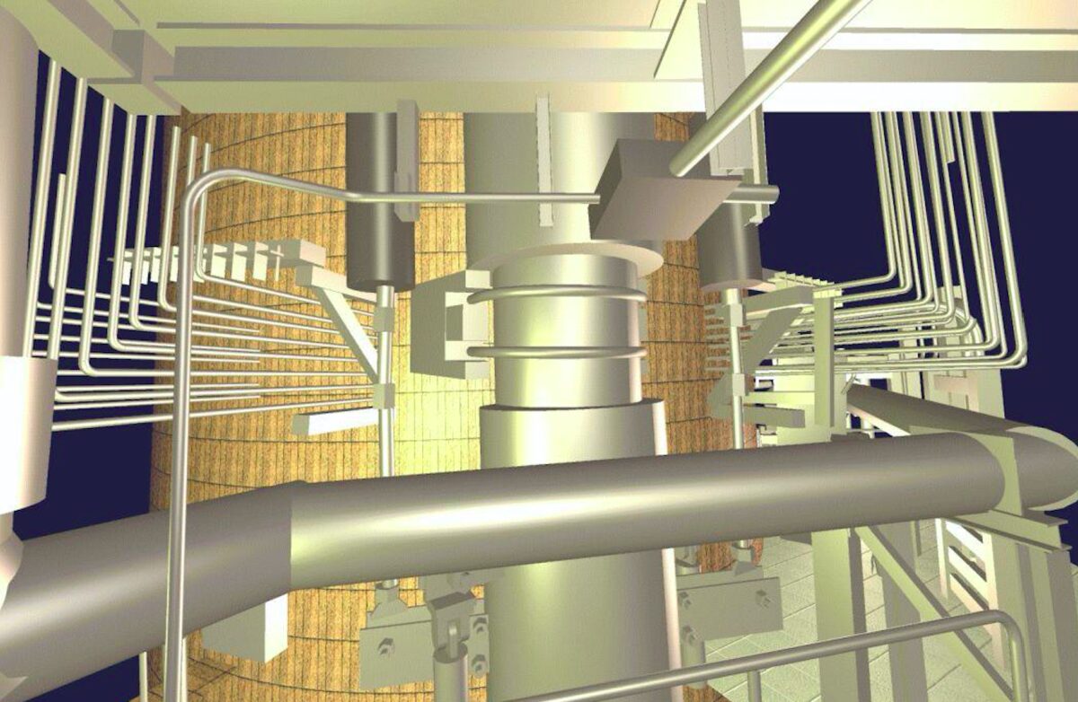
- 3D As-Built CAD Modeling of Nuclear Power Plants
- Gamma-3D Cartography of Nuclear Plants
- Underwater 3D Inspection of Components
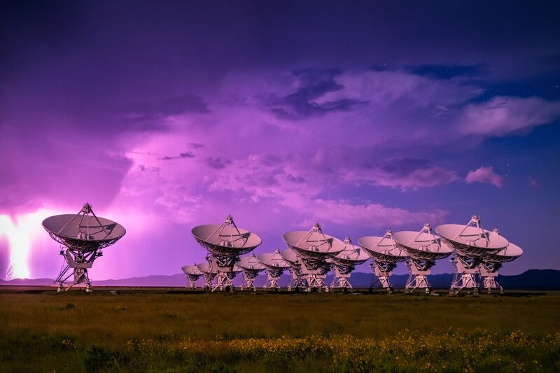
Aerospace & Radiotelescopes
- Periodical Inspection of Jigs
- 3D Measurement of In-Flight Wing Deformation
- Aircraft Mensuration
- Fighter Jet Equipment Bay 3D As-Built CAD Modeling
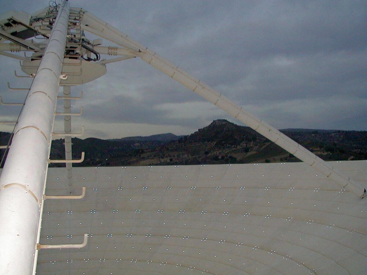
- Parabolic Antenna Deviation Mapping
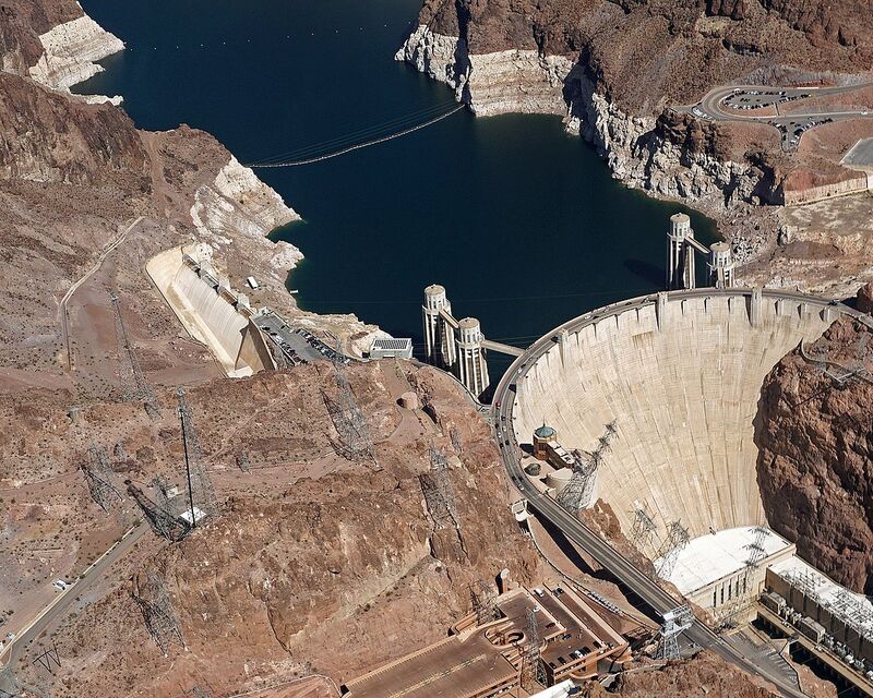
Civil Engineering
- 3D As-Built Survey and Inspection of Dams, Bridges, Docks and Tunnels
- Digital Terrain Model (DTM) of Cliffs
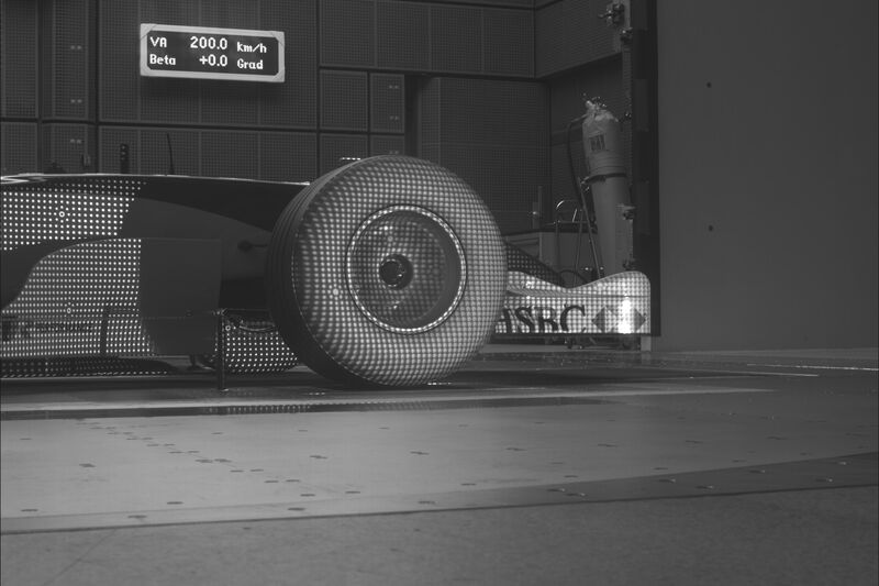
Wind Tunnels
- 3D Mapping of Formula 1 Tires at High Speed
- 3D Survey of Aircraft Mockup Trajectories
- 3D Mapping of Waves
Laser-scale accuracy from an HD video camera.
VLS™ combines video and laser data into a specialized high-accuracy 3D measurement system, built for the places where nobody can go and tripods, targets and total stations don’t fit.
Proof, in millimetres.





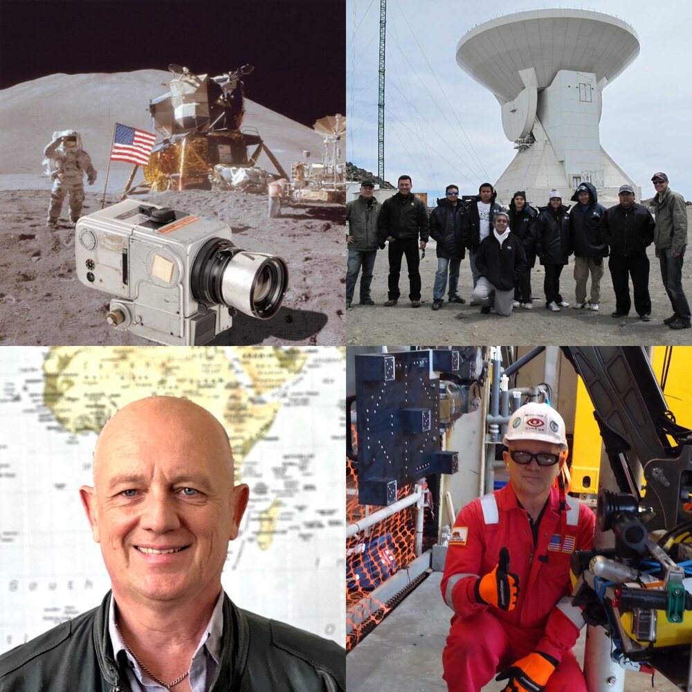
Thirty years of measuring the inaccessible.
DimEye (Dimensional Eye) develops the software and unique methodologies of close-range photogrammetry, uses off-the-shelf advanced hardware — and deploys them in person or teaches you how to deploy them. Every project gets the most accurate result possible with the most efficient method for that application.
Arnauld Dumont-Lunardelli is a Surveyor Expert Engineer with more than 30 years of experience in 3D measurement using Photogrammetry and Laser Technologies across various industries (Oil & Gas, Nuclear, Defense, Aerospace, Civil Engineering).
He managed 3D survey projects in the USA, South America, Europe, Africa, and Asia. He founded DimEye Corp in Los Angeles in 2009 to focus on applications for inaccessible environments.
The people behind the measurements.

Aerospace Engineer with more than 12 years of experience in Photogrammetry and CAD.

Surveying Engineer with more than 12 years of experience in Photogrammetry and CAD.

Tell us what you need to measure.
Four details are enough for a first technical answer, usually within 24 hours.
Articles, papers and reference books.
Publications by DimEye on Video Laser Scan™ and close-range photogrammetry, and the reference books we recommend to anyone learning the discipline.
Articles & papers
Reference books
Photogrammetry accessories.
The equipment we use on our own projects. Order scale bars, tapes, targets and calibration tools online; cameras and lasers are configured to order.
Order online
Shipped from California. Prices in USD. Secure checkout by Square.
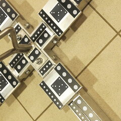
Scale bars
Rigid bars carrying targets at a calibrated distance linked to NIST (National Institute of Standards and Technology). Placed in the scene, they give the photogrammetric network its true scale and a check on accuracy.
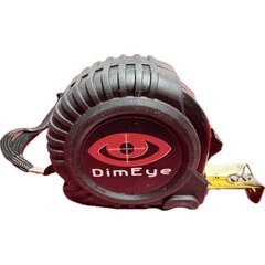
Measurement tapes
Survey-grade tapes for quick control distances, site checks and independent verification of the 3D results.
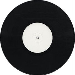
Targets
Coded and uncoded targets that the software detects and measures automatically, with sub-pixel precision.
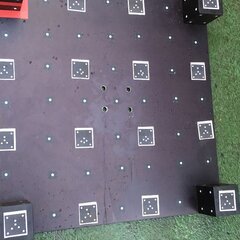
Calibration tool
On-site tool for Video Laser Scan™ calibration: relative positions and orientations of laser and camera.
- Rigid plate with coded and uncoded targets
- Dimensions: 500 mm × 400 mm
- Calibration certificate included (linked to NIST)
Cameras & lasers
Configured for your application and environment — tell us what you need to measure and we will send a quote.
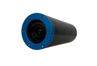
Cameras
Disrupting underwater vision
Unmatched real-time underwater visibility that saves you time and money and improves safety.
- Orphiecam 3000Data sheet (PDF) →
- Orphie 300 miniData sheet (PDF) →
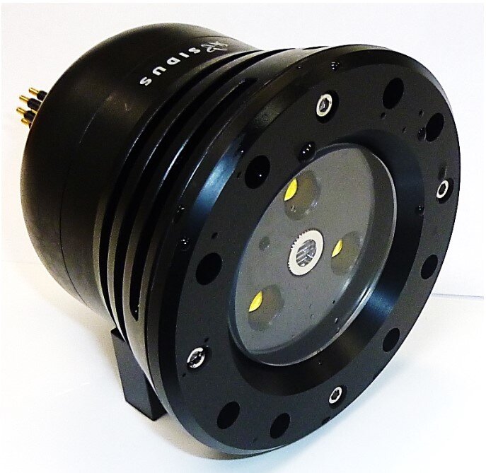
Lasers
The SS182 MKII DARK SABER with LED light, laser, and strobe is specifically designed for lighting applications on inspection systems and other operations where illumination and the ability to scale an image are required. This integrated subsea product enables the laser, LED light, and strobe to work in tandem, delivering crisp video images with remote control.
- SS182 MKII Dark SaberData sheet (PDF) →